Regular price
$30,000.00 USD
Sale price
$16,000.00 USD
Unit price/ per
Sale
Sold out
Couldn't load pickup availability
Geosun gAirHawk Series GS-130X UAV LiDAR Scanning System
Drone LiDAR Scanning System GS-130X integrates Hesai XT32 laser sensor and all built-in units to create a futuristic lookfor your diversified LiDAR solution services. Stands out with strong penetration and small beam divergence in same uav lidar scanning system class to deliver a better performance in any vegetation areas.
Application of GS-130X UAV LiDAR Scanning System
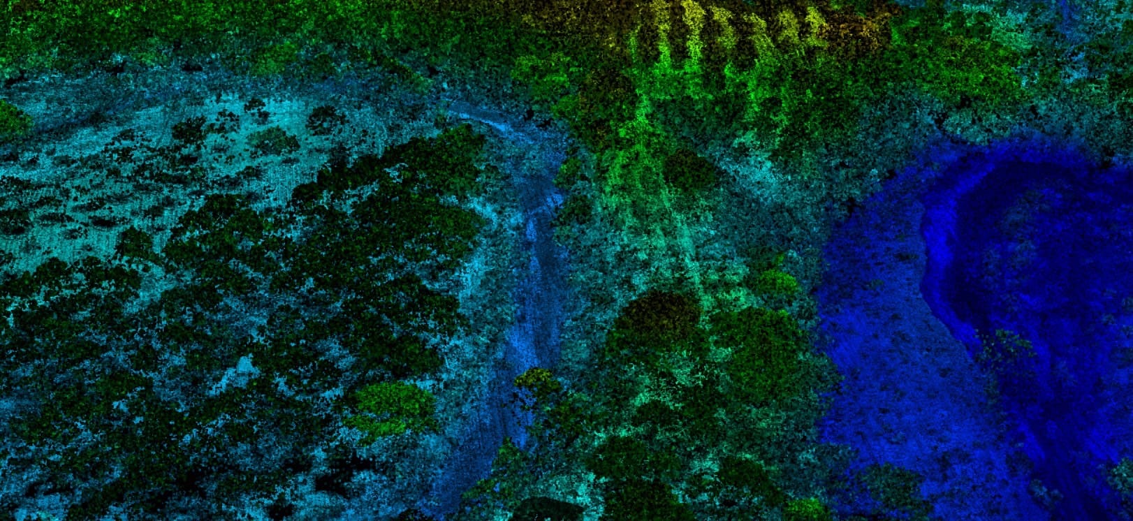
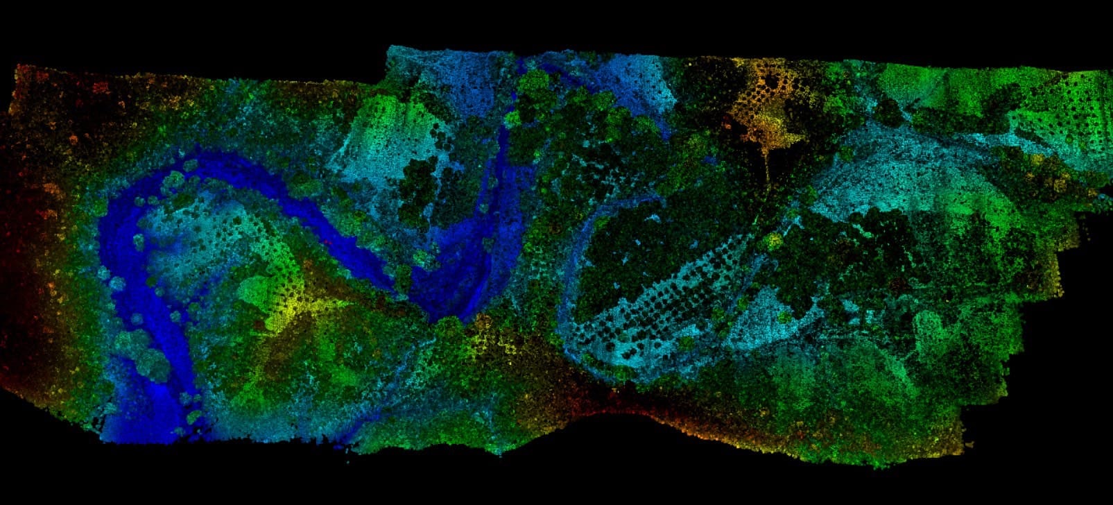
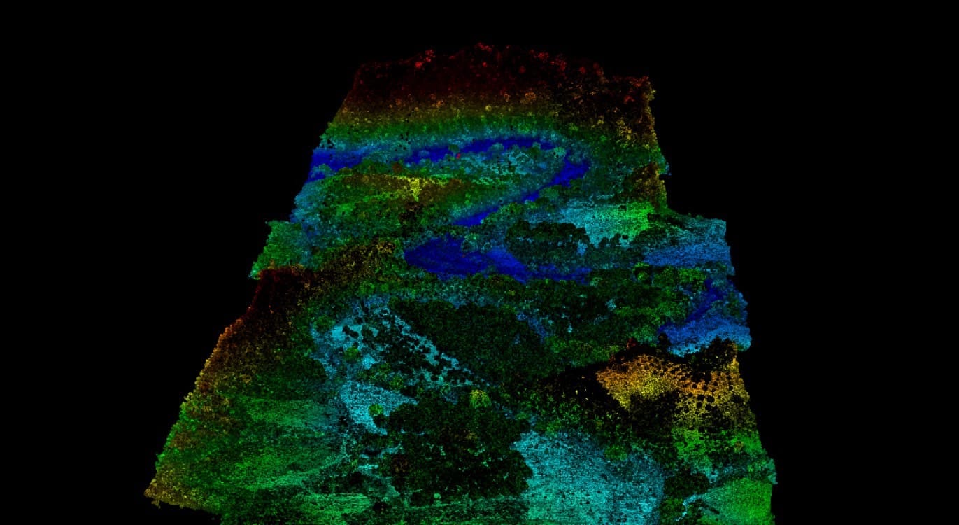
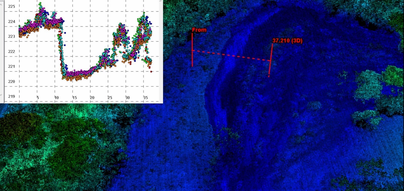
Aerial LiDAR GS-130X is used to do forestry mapping in Thailand.
Free trial software of GS-130X UAV LiDAR Scanning System
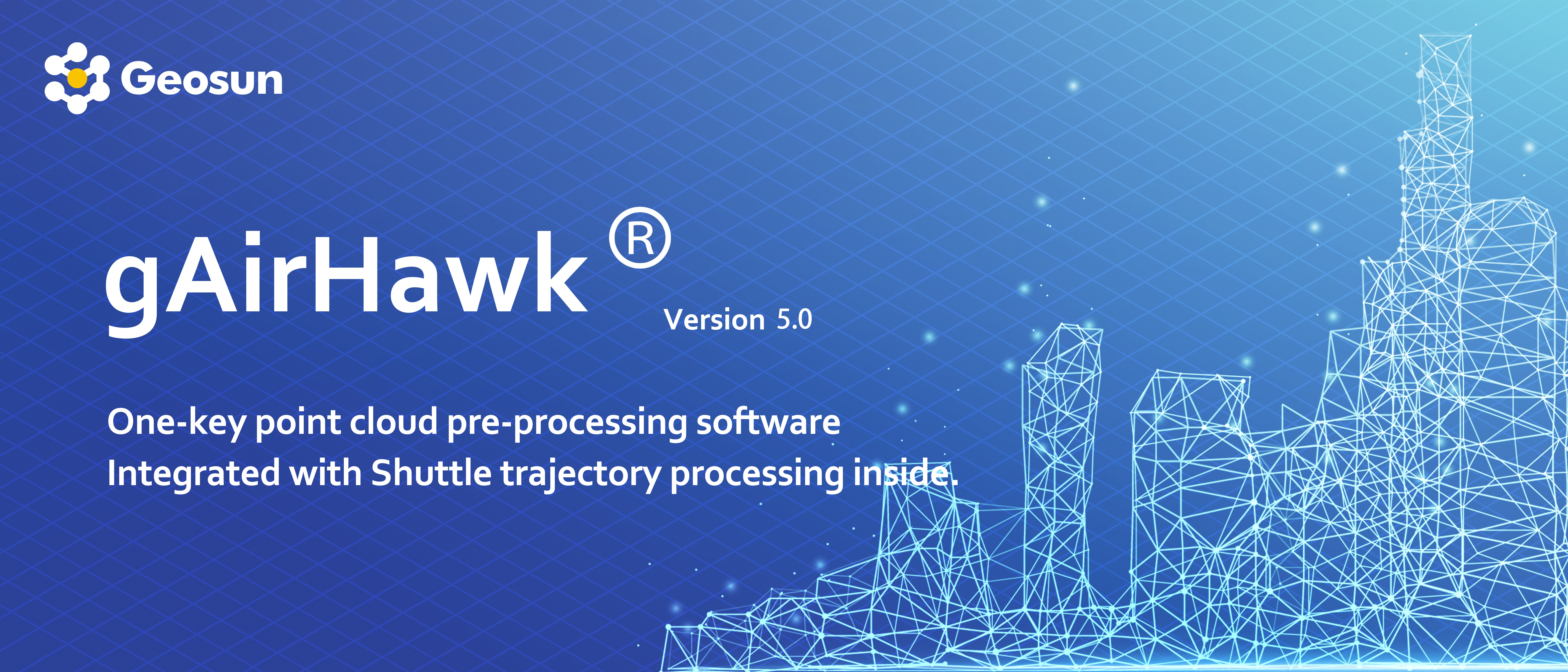
Point Cloud Pre-Processing Software Integrated With Trajectory Processing----Geosun Self-developed gAirHawk 5.0 Key Features of gAirHawk 5.0 Software 1. Raw data: intelligently load 2. Four default coordinates 3. Point cloud Optimization 4. Start and stop calculation
Specification of GS-130X UAV LiDAR Scanning System
Aerial LiDAR Scanning System gAirHawk GS-130X
Item Name
System Parameters
GS-130X
Parameters
Weight
1.26kg
Measuring accuracy
Less than 0.1m @120m
Working temperature
-20℃~+65℃
Power range
12V- 24V
Consumption
10W
Carrying Platform
DJI M300 and Other brand drone
Storage
64GB storage, maximum support 128GB TF card
Lidar Unit
Measuring Range
0.3m-120m@10% Reflectivity
Laser class
905nm Class1 (IEC 60825-1:2014)
Channel
32-channel
Range accuracy
±1cm (typical Value)
Scanning frequency
10HZ, 20HZ
data
Double-echo 1,280,000 Points/Sec
FOV
360°, adjustable
Laser sensor
HESAI XT32
POS Unit
Update frequency
200HZ
Heading accuracy
0.040°
Pitch accuracy
0.015°
Rolling accuracy
0.015°
Position accuracy
≤0.05m
GNSS signal type
GPSL1/L2/L5 GLONASSL1/L2 BDS B1/B2/B3 GAL E1/E5a/5b
Pre-processing
software
POS software
Output information: position, speed, attitude
Point cloud software
Output point cloud data format: LAS format, custom TXT format
Camera (built-in)
Focal Length(mm)
16
FOV
80 Degree
Effective Pixel
26 MP
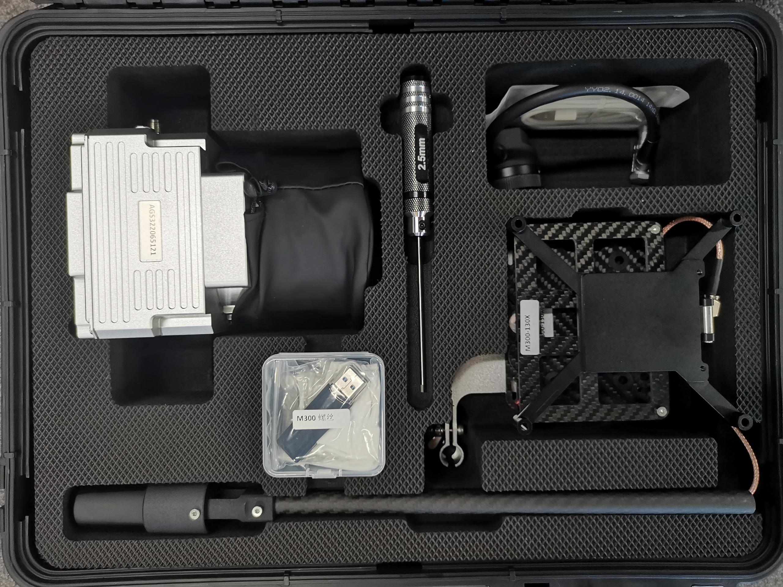
Package of GS-130X UAV LiDAR Scanning System
GS-130X UAV LiDAR Scanning System is packed by suit case with EVA material liner inside, then covered by hard carton box.
The package of UAV LiDAR Scanning System is suitable for air shipment and sea shipment.